Success case study · Climate resilience and open data
Between June 2022 and May 2023, the Zambia Road Safety Trust worked with the Open Mapping Hub Eastern and Southern Africa and the Humanitarian OpenStreetMap Team to document flood and mobility risks in five Lusaka communities.
The problem was visible, but the evidence was incomplete
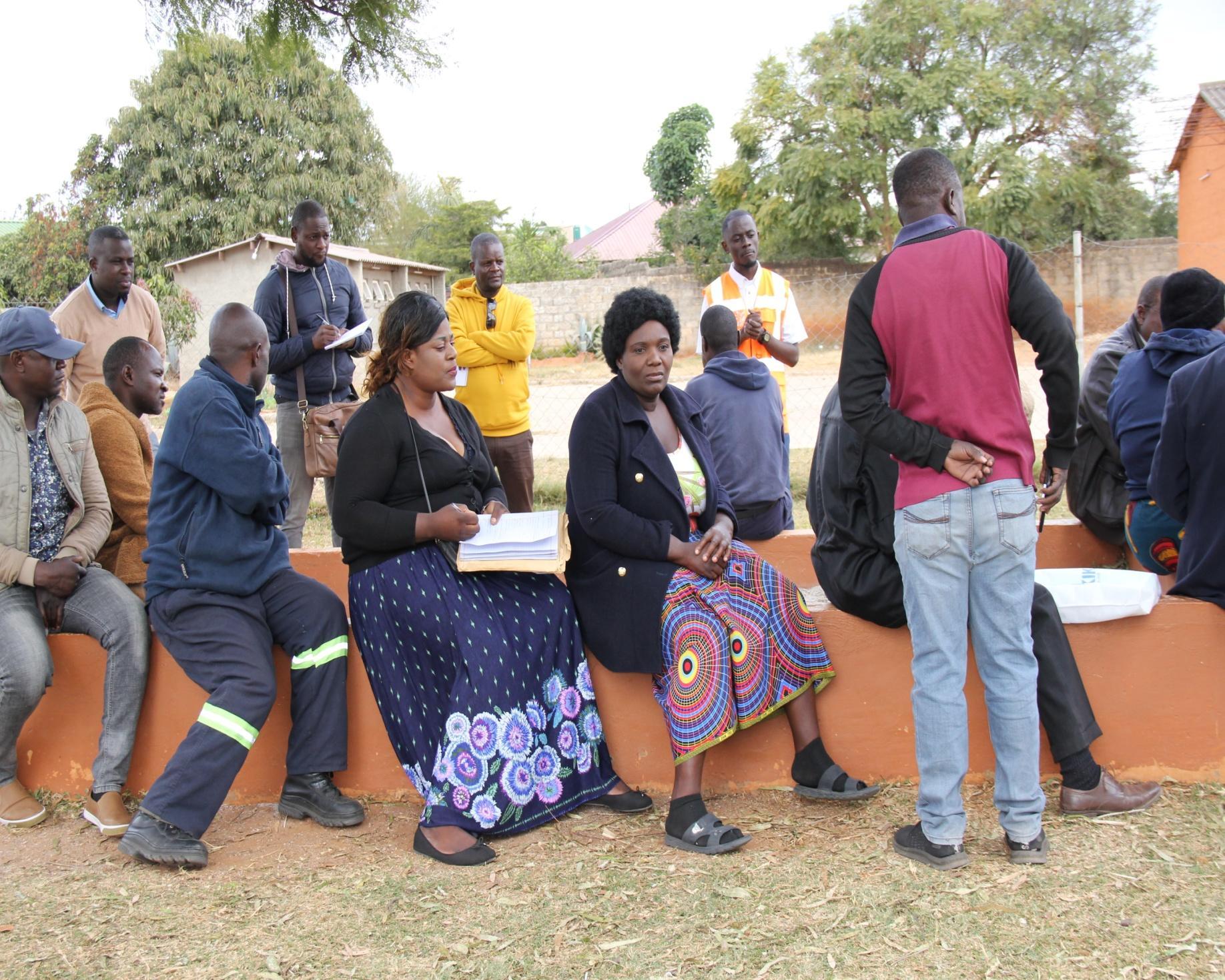
Residents of Kanyama, Bauleni, Kalikiliki, Mtendere and Mazyopa knew where rainwater collected, which drains failed and which routes became hard to use. Much of that local knowledge was not available in a form that planners could readily examine alongside roads, buildings and public facilities.
That gap matters. Flooding can cut access through a settlement, push people away from familiar walking routes and make already weak road and drainage systems harder to use. Women, children, older people and people with disabilities may face the greatest burden, yet their daily experience is often missing from formal datasets.
What ZRST and its partners did
Worked with communities
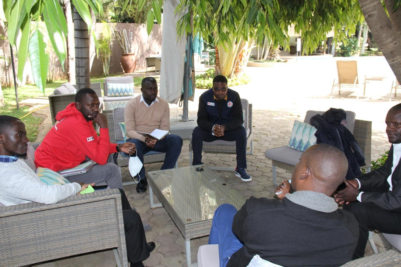
Residents and local leaders took part in meetings, awareness work and participatory mapping. Their knowledge helped locate concerns that would be easy to miss in a desk study.
Combined field and remote mapping
The project collected and reviewed information on buildings, roads, paths, drainage, public facilities, informal settlements and areas exposed to flooding.
Built local mapping skill
Participants learned data collection, the OpenStreetMap iD editor, data cleaning with JOSM and map validation. Mapathons gave the team a practical setting in which to apply those skills.
Connected evidence with planning
Map products were handed over and discussed with stakeholders so that locally gathered evidence could inform flood preparedness, infrastructure priorities and later planning work.
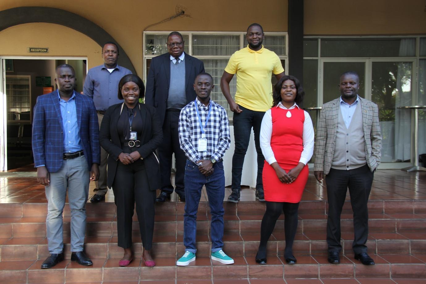
Findings
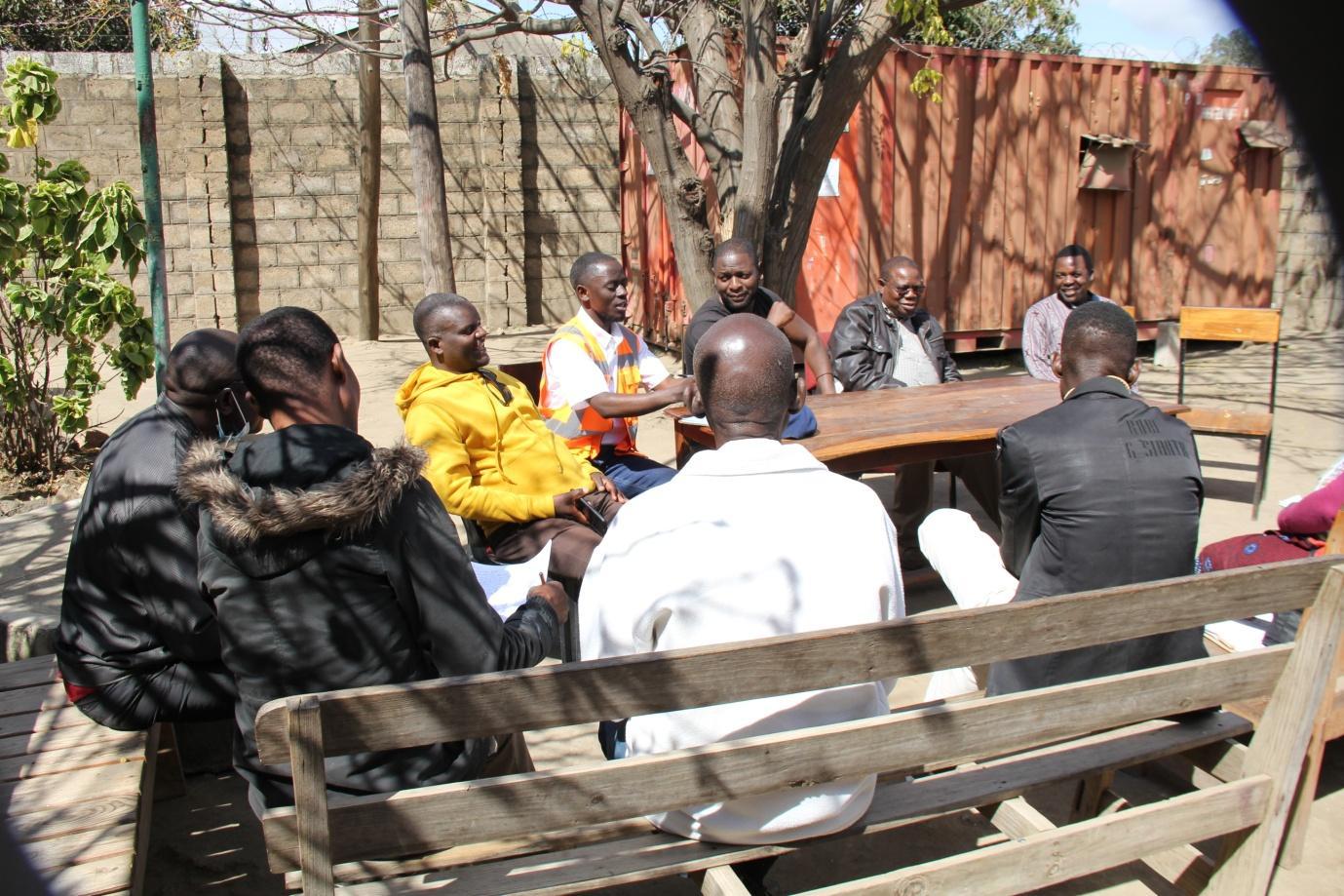
The project produced map products, ran community and stakeholder sessions, supported field and remote mapping, organised Mapathons and established a local OpenStreetMap team. Its final report records the use of drainage information by civic leaders in Kanyama, Mtendere and Mazyopa when considering flood priorities.
The project did not build drainage works or prove a fall in flood losses or road injuries. Its contribution was earlier in the chain: it made local risk more visible, strengthened mapping skill and created a base for better questions and better-targeted action.
What we learned
- Community knowledge improves a map, but it must be collected through a clear and repeatable method.
- Training needs enough time for practice, validation and correction; a short demonstration alone does not build lasting skill.
- Staff changes inside public bodies can stall uptake, so project records and handover arrangements must survive the transfer of individual officers.
- Counting mapped features is not the same as showing public value. Future work must track who uses the data, what decision changes and whether conditions improve.
Why this experience matters for children
UNICEF reported in June 2026 that more than 7.3 million children in Zambia are exposed to at least two overlapping climate threats. National exposure data show the scale of the problem, but they do not show which school path floods, where a child moves into traffic to avoid standing water, or which crossing becomes inaccessible after heavy rain.
The same combination of open mapping, community knowledge and road-risk assessment can be adapted to school journeys. A future child-focused phase should map school routes in wet and dry conditions, measure vehicle speeds, record drainage and accessibility barriers, and involve children through a formal safeguarding process.
The next step: climate-resilient safe journeys to school
ZRST is seeking technical and funding partners for a pilot that joins four types of evidence at school level:
- children’s actual walking and cycling routes;
- traffic speed, crossing and road-injury risk;
- flooding, drainage, heat, dust and route disruption; and
- the experience of girls, younger pupils and children with disabilities.
The intended result is not another map for a report. It is a costed, approved school-route plan that tells councils, schools and funders where a practical improvement is needed and who will maintain it.