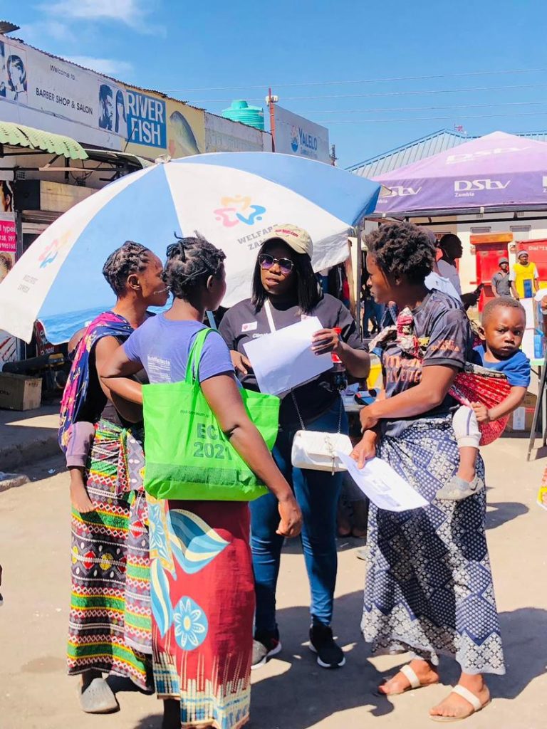
In Lusaka’s flood-prone communities, we implemented a project focused on enhancing disaster and climate resilience. Our main goal was to support communities with limited capacity to adapt to climate-related hazards. We used open map data to bridge information gaps between city authorities and affected communities.
The project aimed to strengthen the adaptive capacity of residents, making them better prepared for floods and other climate-related risks. By providing advanced knowledge and best practices in flood preparedness, we equipped residents, planners, and decision-makers with the tools needed to address these challenges effectively.
Our mapping activities, both remote and in the field, yielded valuable information about buildings, roads, drainage systems, informal settlements, and areas at high risk of flooding. The primary objective was to build long-term capacity in Lusaka to deal with the threats and impacts of current and future climate change, especially in vulnerable communities with low adaptive capacity. We sought to research and deliver sustainable enhancements in the capacity of planners and decision-makers to reduce climate impacts on vulnerable communities. By exposing local practitioners to state-of-the-art knowledge and practices in climate resilience planning through digital mapping, we aimed to support them with necessary tools and methods for resilience.
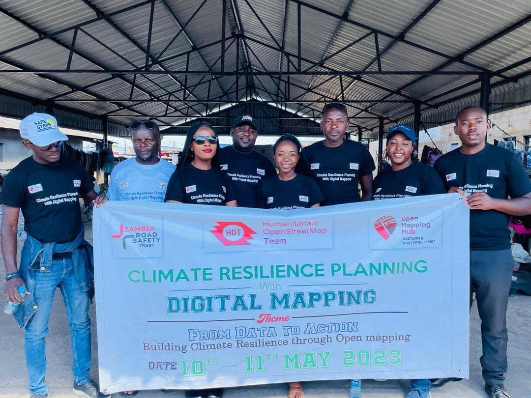
Our project partners included the Humanitarian OpenStreetMap Team, Open Mapping Hub Eastern and Southern Africa, Open Data Lab Zambia, and key collaborators such as the Disaster Management and Mitigation Unit (DMMU), Zambia Red Cross Society (ZRCS), and Lusaka City Council (LCC).
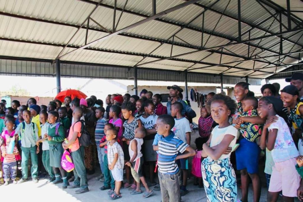
The project had notable impacts, including enhanced disaster and climate resilience in five communities with limited adaptive capacity. We achieved this by strengthening their ability to face floods and other climate-related risks. Additionally, the project improved collaboration and data sharing between city authorities and affected communities, fostering a joint effort to address challenges related to flood-prone areas. This approach facilitated a more comprehensive understanding of the needs and present concerns.